Datasets
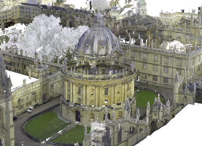
Oxford Spires Dataset was collected in multiple Oxford landmarks using a LiDAR, three colour cameras with an inertial sensor, as well as millimetre-accurate maps from a terrestrial LiDAR scanner (TLS). The dataset contains 24 sequences across 6 sites (~1 Hectare each). It can be used for LiDAR and/or Visual localisation, reconstruction, and novel-view synthesis using NeRF or Gaussian Splatting.
 Webpage
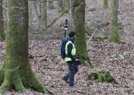
Oxford Forest Place Recognition Dataset consists of LiDAR point clouds captured by a back-pack mounted LiDAR in four different forests: Stein am Rhein (Switzerland), Evo (Finland), Wytham (UK), and Forest of Deans (UK). The dataset primarily used for LiDAR-based place recognition.
Webpage
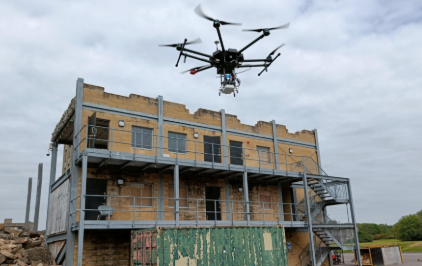
Oxford Osprey Dataset is a LiDAR-Visual-Inertial (LVI) dataset captured with Osprey, an autonomous aerial mapping system capable of surveying large outdoor structures over multiple flights. It provides aerial surveys of three separate large industrial sites, with a total ground coverage of 2528 square meters.
Webpage
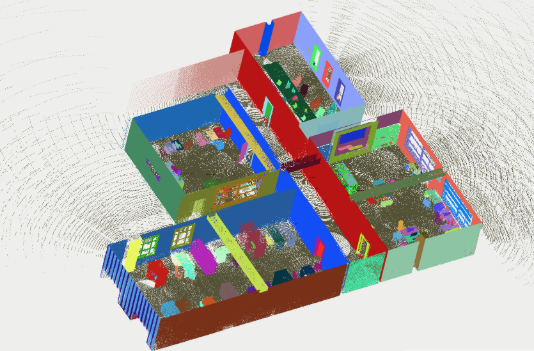
LiSTA (LiDAR Spatio-Temporal Analysis) Simulated LiDAR Dataset is a simulated LiDAR dataset designed to be analagous to the Ouster os0-128 LiDAR, with three office scenes, each with two missions. The dataset is designed for per-point evaluation of object level change detection algorithms.
Webpage
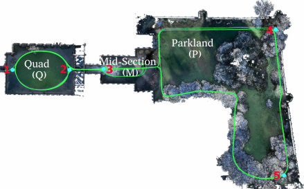
Newer College Dataset contains a variety of mobile mapping sensors handcarried at typical walking speeds through New College, Oxford for nearly 6.7 km. The dataset uses two different devices made up of commercially available sensors. These datasets contain some challenging sequences such as fast motion, aggressive shaking, rapid lighting change, and textureless surface.
Two iterations of the dataset exist:
- v1: a RealSense stereo camera. March `20
- v2: extension with synchronised cameras and a 128-beam lidar. Dec `21